In early February, we set sail from The Gambia for Cape Verde. We could have headed straight across the Atlantic to Brazil, but having never visited Cape Verde, it seemed too good an opportunity to miss. There was also a more practical reason for stopping. We saw Cape Verde as something of a ‘quarantine island’, giving us time to make sure we hadn’t picked up malaria or another tropical illness during our travels in West Africa. The chances were slim, but the prospect of falling ill halfway across the Atlantic, several days from medical help and with our young daughter aboard, wasn’t one we were prepared to risk.
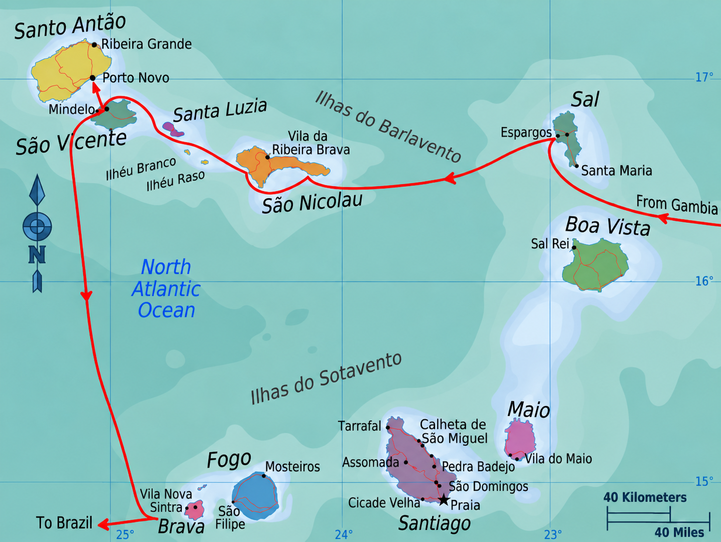
Our first port of call was Sal, the nearest island where we could clear into Cape Verde. A largely arid, desert-like island, Sal is best known for its beach resorts and thriving watersports scene. While its long sandy beaches and reliable trade winds make it a paradise for surfers, wingfoilers and kitesurfers, we found it rather more developed for tourism than we’d hoped. For us, it was a convenient place to complete immigration formalities before moving on to explore the quieter, more traditional islands further west. Immigration is done in Palmeria and the police are polite and efficient. The men managing the moorings however should be kept at arms length. Personally, I would not trust the moorings as we heard of several accounts of them moving and one boat dragging its mooring across the harbour. You’d be much better on your own anchor.
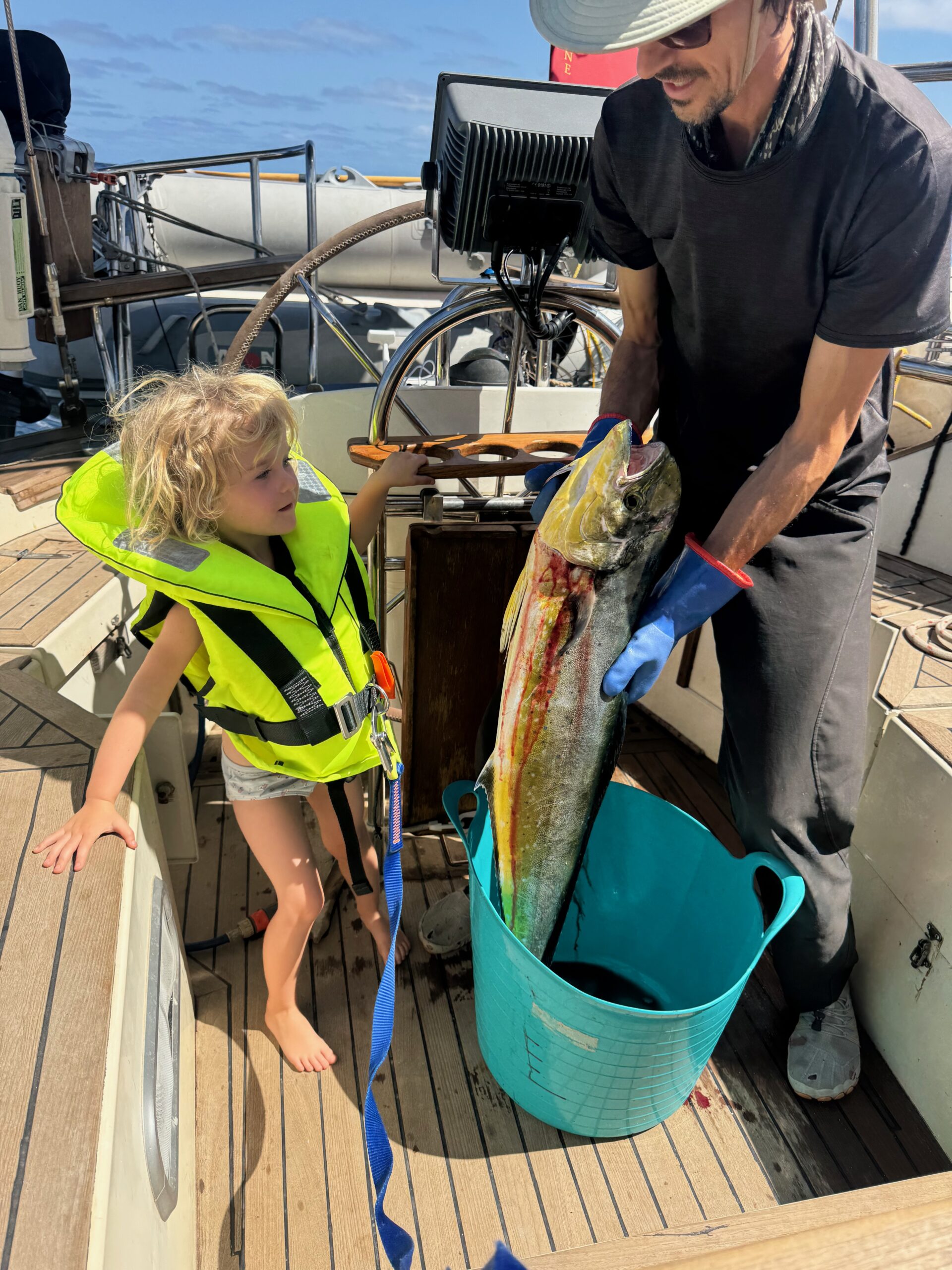
We moved swiftly on to Sao Nicolau which was a much more genuine Cape Verde experience. Quieter and one of the least touristy islands, lying between São Vicente and Sal. Roughly 45 km long, it is a rugged volcanic island with dramatic mountains, deep valleys and a population of around 13,000. The passage from Sal to Sao Nicolau is around 65nm and often fast with the wind on the beam or quarter. Passages between the islands can be sporty with winds around 20-25kts and gusting a lot more in the acceleration zones. They are however good fishing grounds for good sized pelagic fish like the mahi-mahi since the depths drop right down to 3.5km between the islands. The islands really are independent volcanoes rising up from the ocean floor!
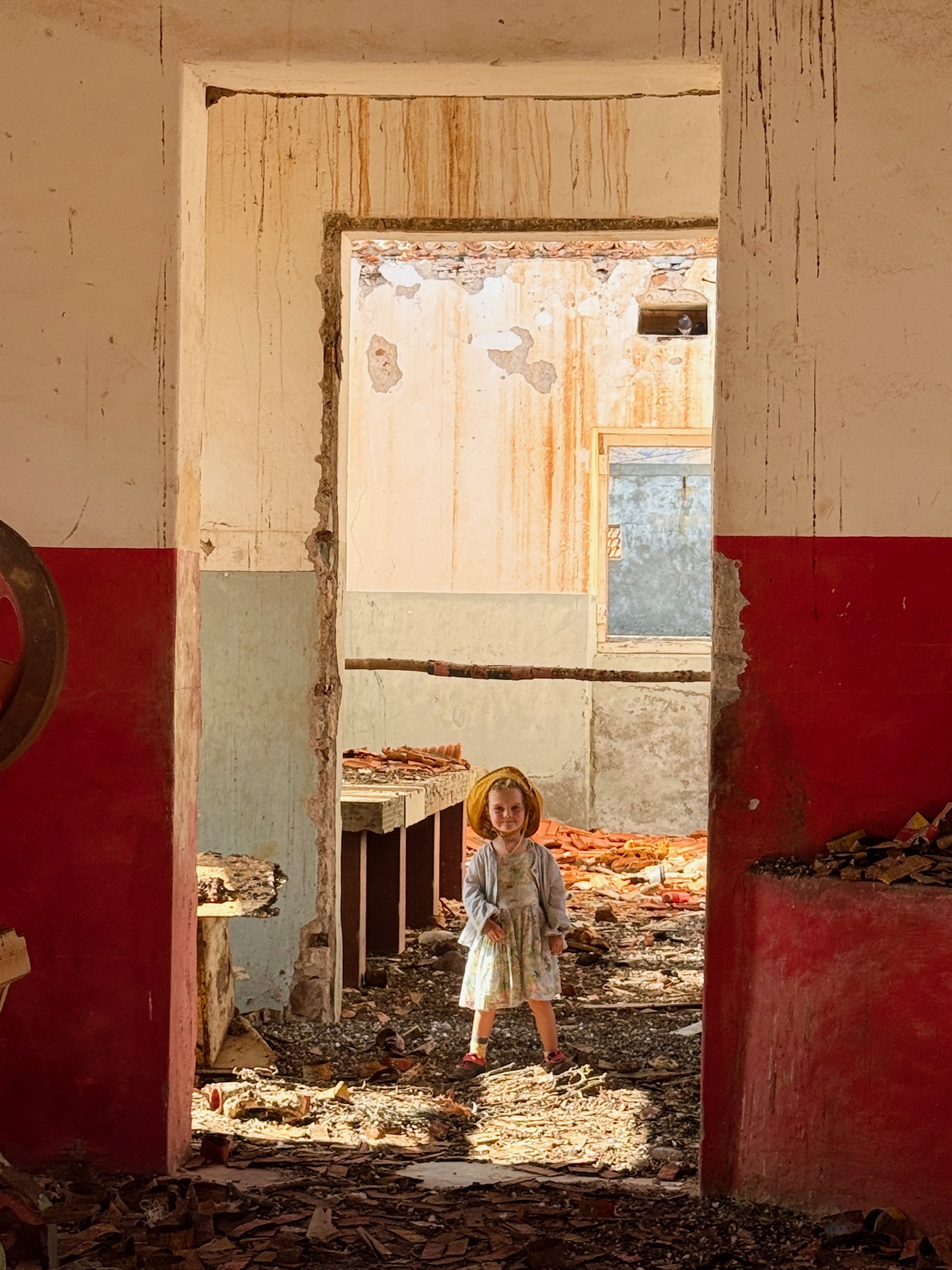
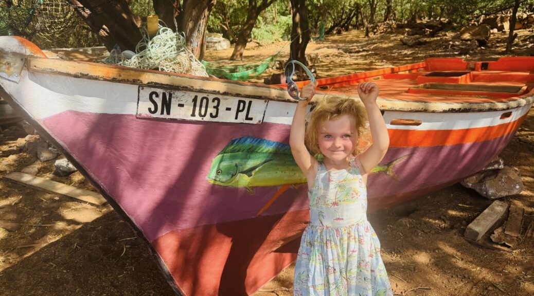
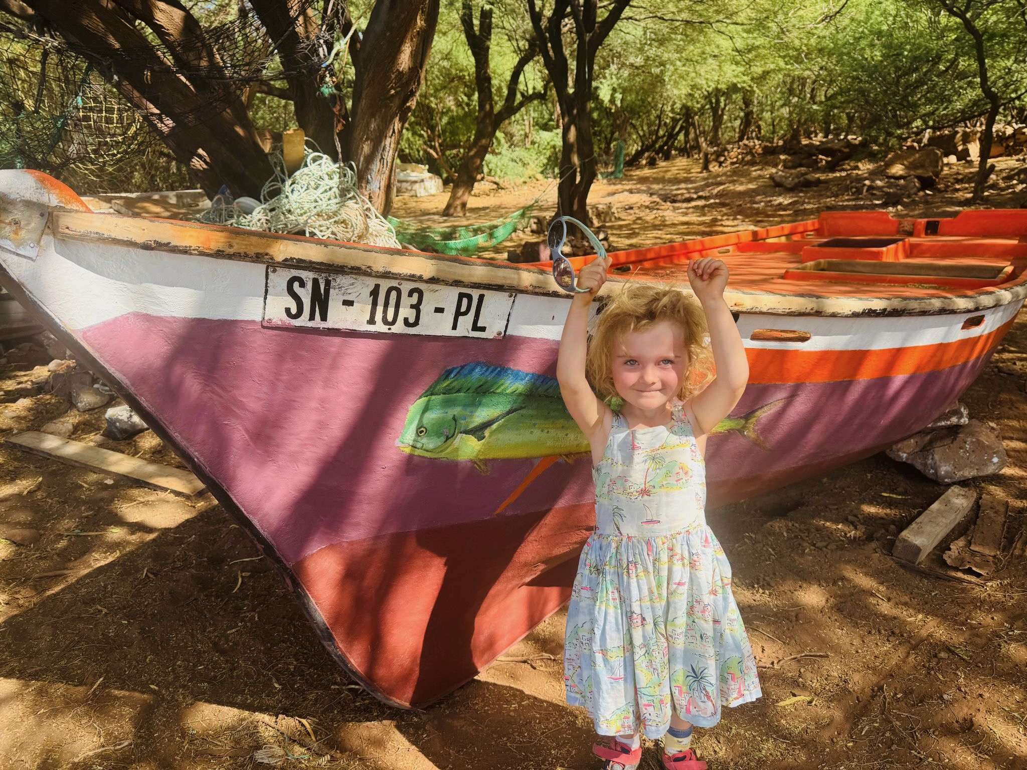
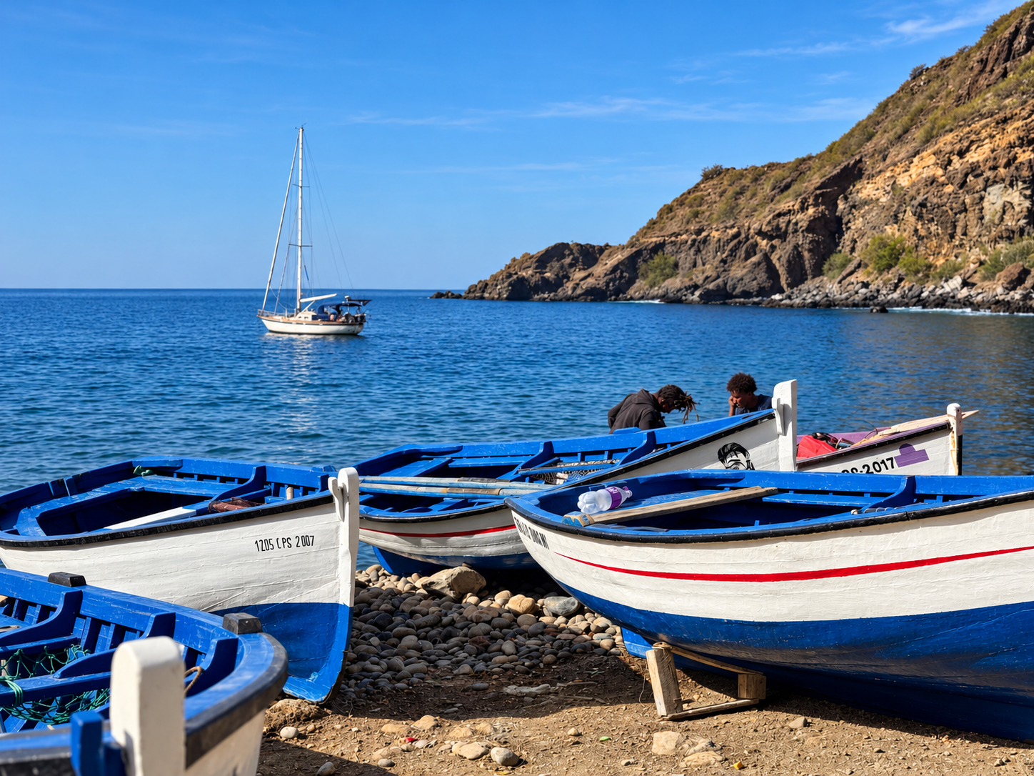
The main anchorage is São Nicolao is at a town called Tarrafal but we first stopped at the tiny and picturesque village of Carrical. You can go ashore and eat at a very informal little cafe or take a walk up the riverbed and complete a small round. During the 19th century, Carriçal was an important centre for whaling. Later, fishing and a small tuna-canning factory supported the village, although the factory has long since closed. You can still explore the old factory today. There are still a number of local fishermen with their colourful boats, taking pride in their appearance and paint unique names and pictures on the hulls.
Typically for Cape Verde the wind was strong and very gusty in Carrical. You need to be confident using your anchor in Cape Verde if you’re going to sleep at night and be comfortable leaving the boat unattended to explore ashore. A good deal of chain, a long snubber and our anchor riding sail was often used. It’s not like the Canary Islands where the acceleration zones are limited to specific areas or where the southern sides of the islands a sheltered from the wind. In Cape Verde leeward side of the islands are not that sheltered. They suffer from strong gusts, and swell often wraps around into the anchorages.
As such, row ashore if you can, since pulling the dinghy up on the beach between waves is much easier! If there is any risk of strong wind then you’ll need to take there outboard but don’t risk going ashore if being capsized by a wave is possible. We even saw some boats anchor their dinghy and swim ashore with a dry bag which seemed sensible. A decent set of inflatable dinghy wheels are very helpful to get your tender up and onto the beach as quickly as possible. Not those flip down plastic types which just dig into sand.
From Carrical we sailed to Taraffal which is refreshingly sheltered. On most of the islands there is a small area where the wind meets as it wraps around the island and creates a small sheltered area. Taraffal happens to be right in this spot and perhaps this is why they built the town here and formed a fishing fleet. You can anchor with ease and see turtles swimming around the boat.
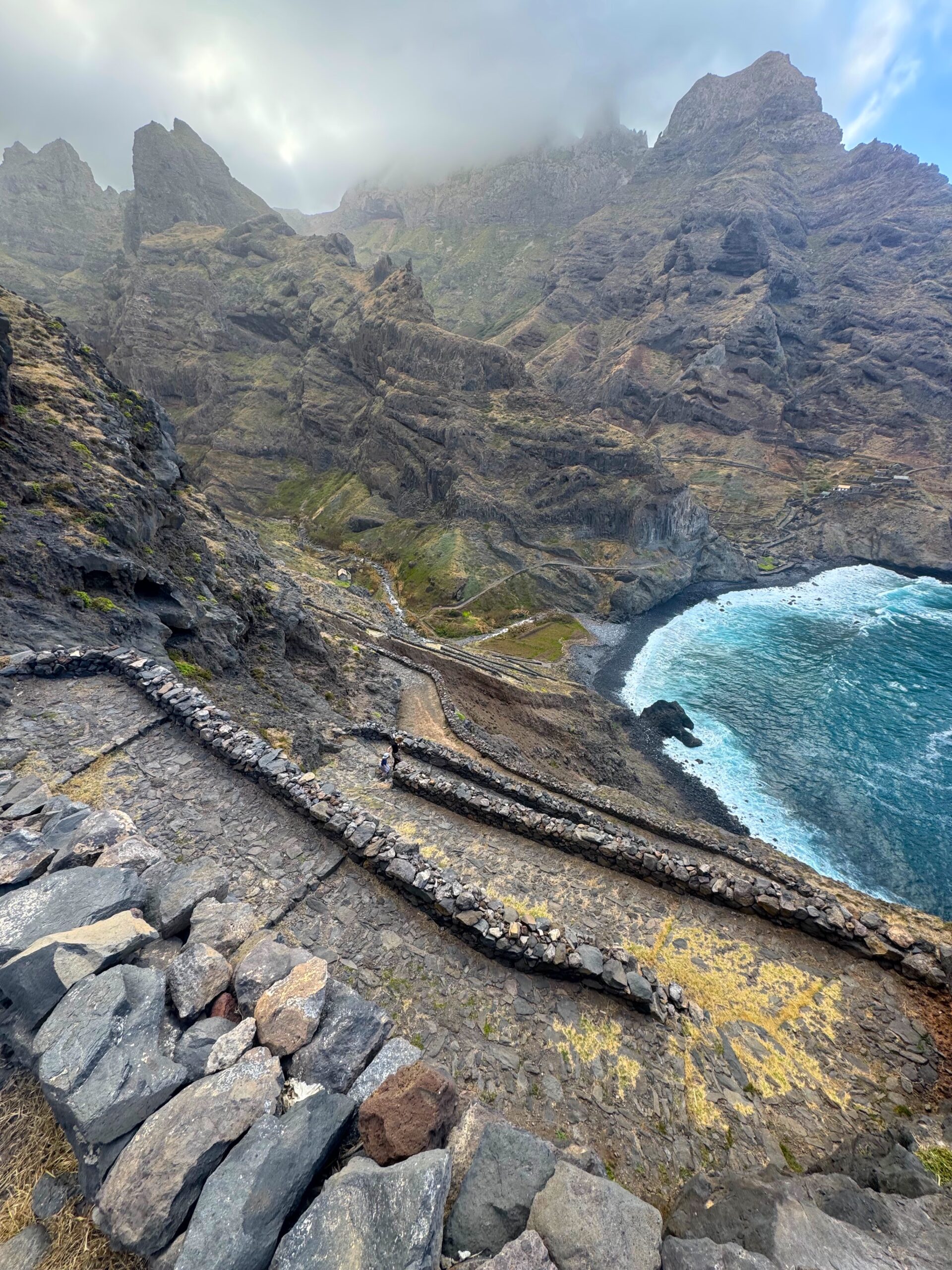
Ashore is beautiful and we’d recommend renting a car to get to the lovely walks and abandoned village of Riberia Funda. The island is pleasantly free of mass tourism and provisions are plentiful. Take your time here and spend a least a week. It is one of the more relaxed islands with a calm and free anchorage.
Landing the dinghy is no problem but you will get approached by “Boat Boys” offering to look after your dinghy and ensure it’s not stolen. Now I don’t believe there is a risk of it being stolen or tampered with. But I did wonder what would happen if we didn’t pay the “protection free”. So I coughed up a small amount and made friends with one of them. I was happy to support him and perhaps it made us feel more relaxed when we went ashore to stay a couple of nights in a local BnB. We didn’t feel Shadowfax was at risk here and we informed another yacht nearby we were away for a couple of nights.
Having security concerns may feel alien after cruising in Europe and the Canary Islands but you need to get used to security concerns once you leave Europe, especially if heading to the Caribbean. Interestingly, we felt more secure in Senegal & Gambia than many other places we’ve sailed.
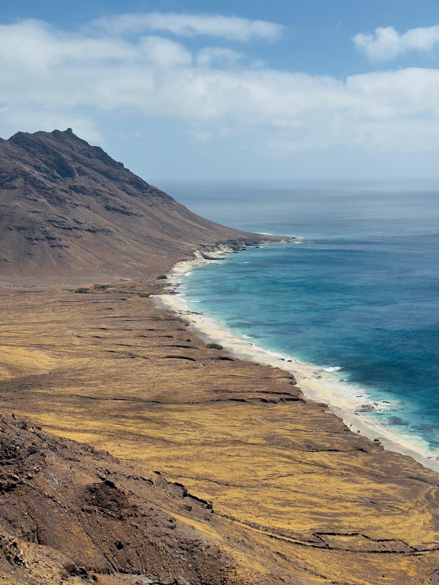
From there we sailed to the uninhabited island of Santa Luzia. After another sporty crossing we anchored south of the island just between the shore and Ilheu do Guisinho, a rock about 0.2nm off the beach. Look for a clear patch of sand since you’ll want a good scope of chain out with the strong wind and gusts. After getting snagged once I resorted to snorkelling in search of a patch of sand and directed Emmie where to drop the hook.
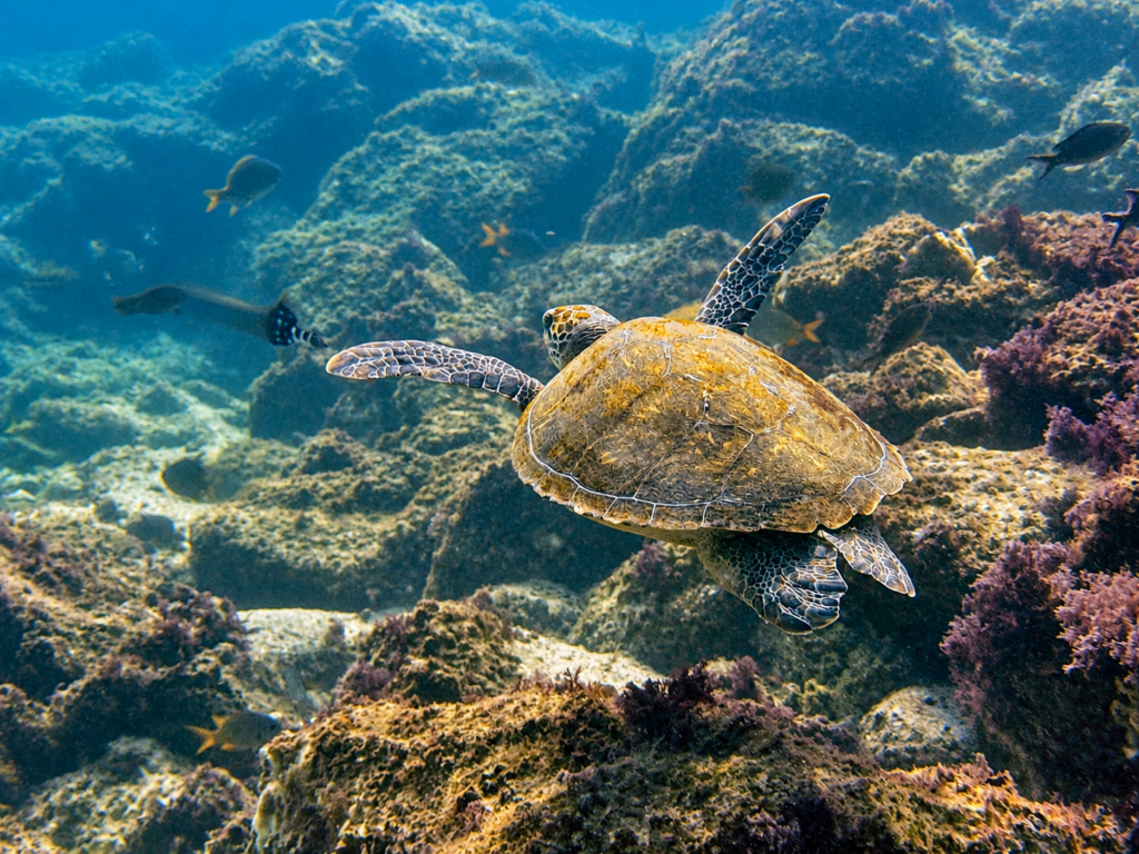
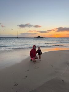 Ashore there is a pristine beach with no other humans which feels very special. Be careful for turtle nests where the sand is soft and circular. Another discovery was the snorkelling at the rock (Ilheu do Guisinho). Initially we assumed the offshore side (south) of the rock would be best but it was largely devoid of life. I then swam around to the north side and BOOM! Every fish you could imagine! We do a lot of diving and snorkelling from the boat and I’ve never seen anything like it. A big turtle cruised past and I could barely get a photo for the sheer number of other fish in the way of the camera!
It was now time to make for Sao Vincente and Mindelo. This is where the majority of yacht go, missing many of the other islands, which is a shame. At very least I would recommend taking the route we did from Sal > Sao Nicolau > Santa Luzia and to Mindelo.
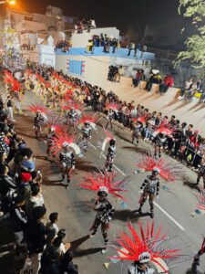
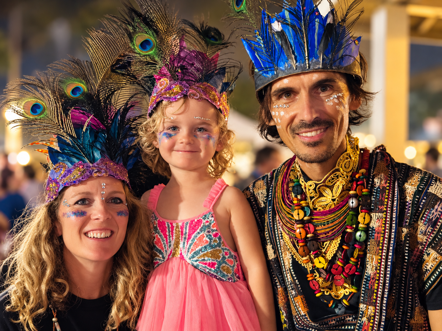
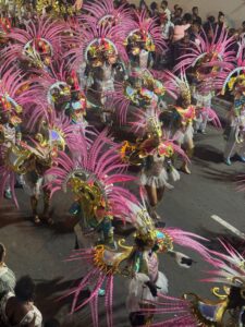 For us we would have liked spend more time on Nicolau and Luzia but the carnival was about to begin in Mindelo which was a real treat! For most boats they have already crossed the Atlantic and won’t be in Cape Verde in late February so it felt like a real privilege. For a small town is was quite incredible how much effort was put into the costumes. I figure that at least half the population of Mindelo must have been involved in some way!
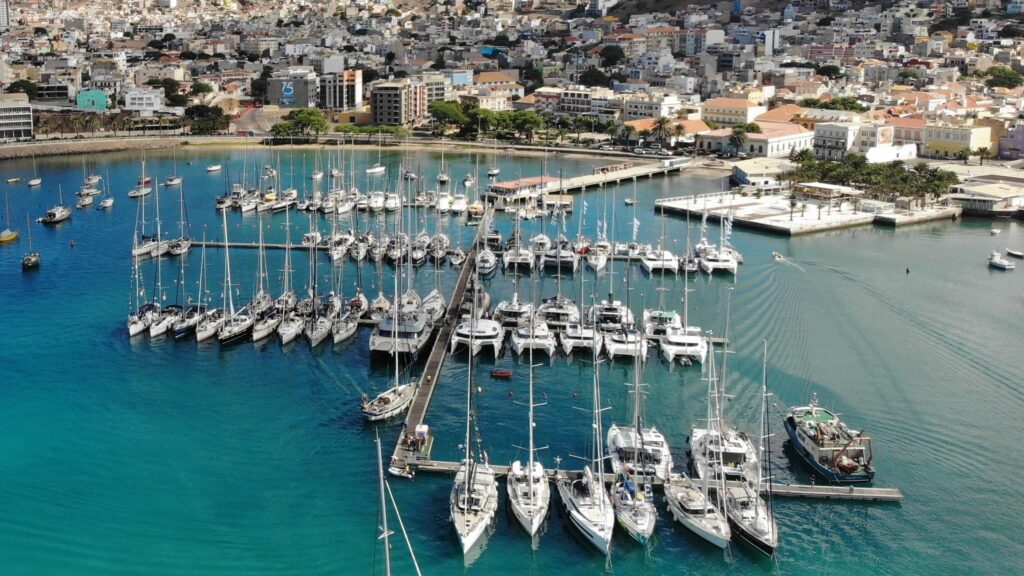
Mindelo has a colourful waterfront, bustling streets and a harbour filled with fishing boats, ferries, commercial ships and visiting yachts. Mindelo owes much of its existence to its harbour. Although first settled in the late 18th century, the town flourished during the 19th century when British companies established coal depots to refuel steamships. Colourful Portuguese colonial buildings, lively markets, pavement cafés and music drifting from bars give the town a character quite unlike the quieter islands of the archipelago.
If arriving at the same time as the Arc+ then space in Mindelo Marina is going to be tight! But at any other time I believe you’ll be fine to enter the marina or anchor off. Personally we found the marina to be snatchy and uncomfortable but very convenient for getting on and off during the carnival. So for us we tolerated it! The owner of the marina was little aloof and slightly rude but you just have to roll with it. There is a convenient floating cafe and place to tie your dinghy but the marina will expect you to pay a daily dinghy fee. This is much reduced if you pay for a week or even a month pass. Check the discounts first as you may find 5 days costs more than one month!
An excursion many visiting yachts do is a trip to Santo Antão. It is arguably the most spectacular island in Cape Verde, particularly for walking, with mountainous, deeply sculpted landscapes where jagged peaks, enormous ravines and towering sea cliffs contrast with surprisingly lush green valleys. Although there is an anchorage there, it’s unreliable as the winds can switch at a moments notice and cause your anchor to drag whilst your ashore enjoying the island. If the weather is particularly settled then fine, but otherwise you’re best to leave the boat in Mindelo Marina and take the morning ferry.
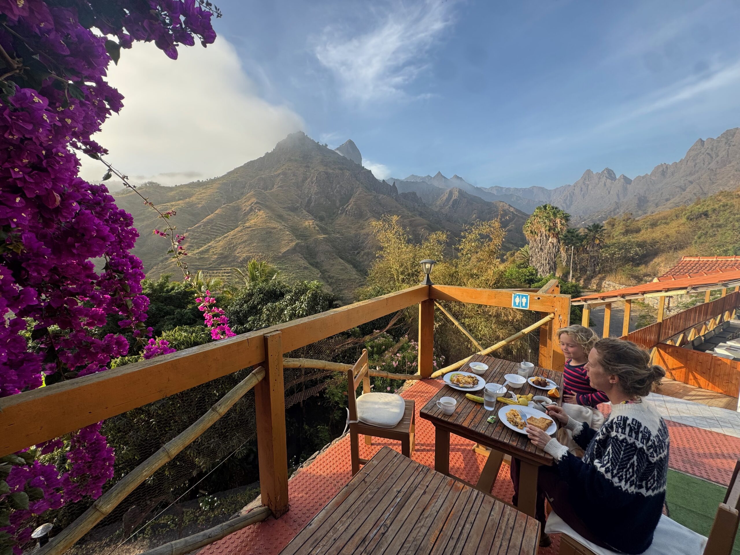
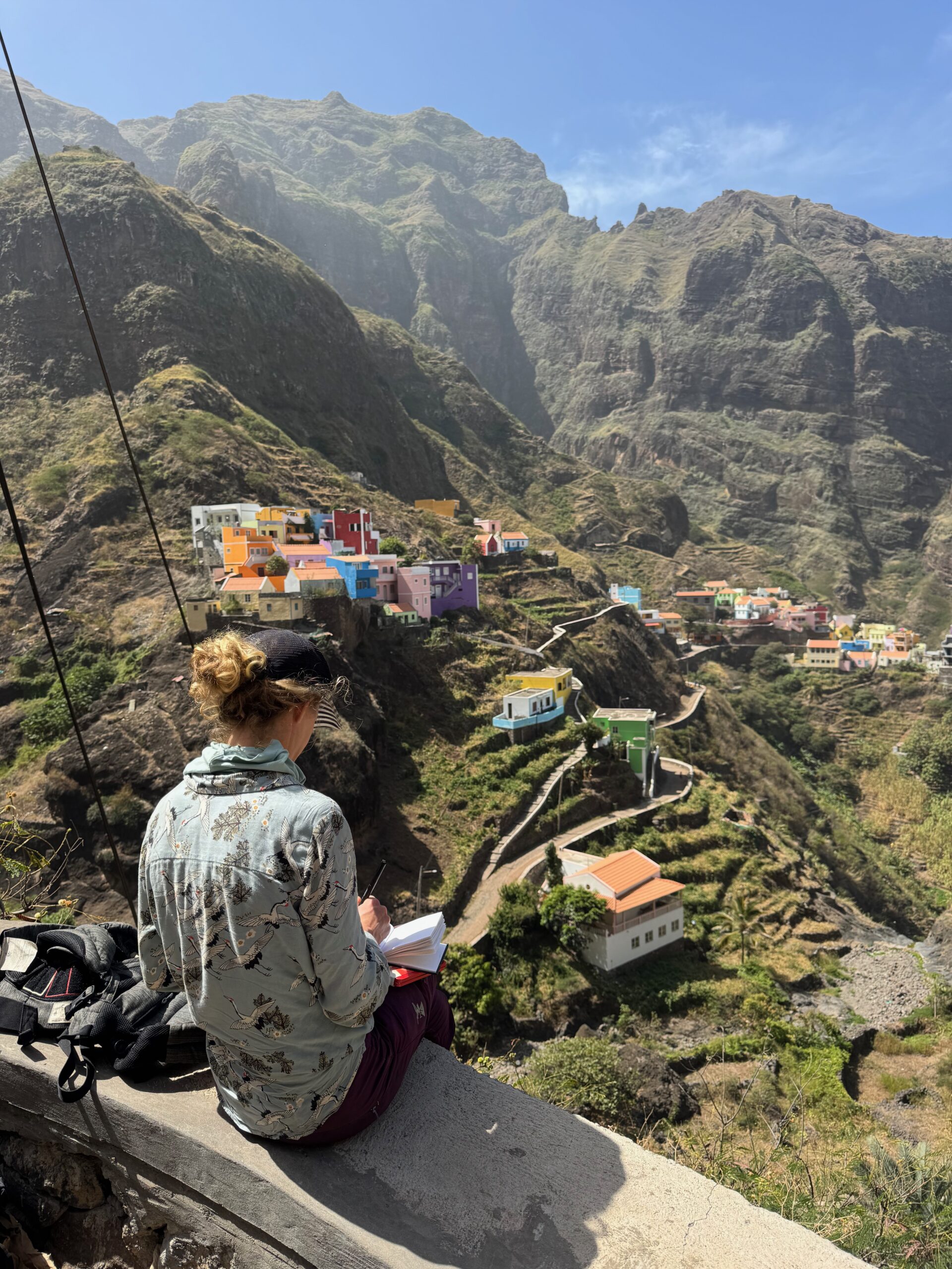
I would certainly recommend taking 2-3 days over a trip there. A day trip would feel a little rushed! I decided to rent a motorcycle for a couple of days on Santo Antao which was certainly a good way to see the island if you only have a day. For me I was able to get the lay of the land before Emmie and Célestine joined me the following day. We did some walks up at altitude near the volcanic crater and also to the colourful mountain village of Fontainhas where Emmie took some inspiration for her next series of paintings. You can follow her work here @emmievb or www.EmmieVB.com.
Mindelo is a perfectly adequate place to provision before the Atlantic crossing. Diesel, vegetables and other supplies can be found. There is a simple chandlery and a stainless welding to hand. Check out NoForeignLand for more pointers!
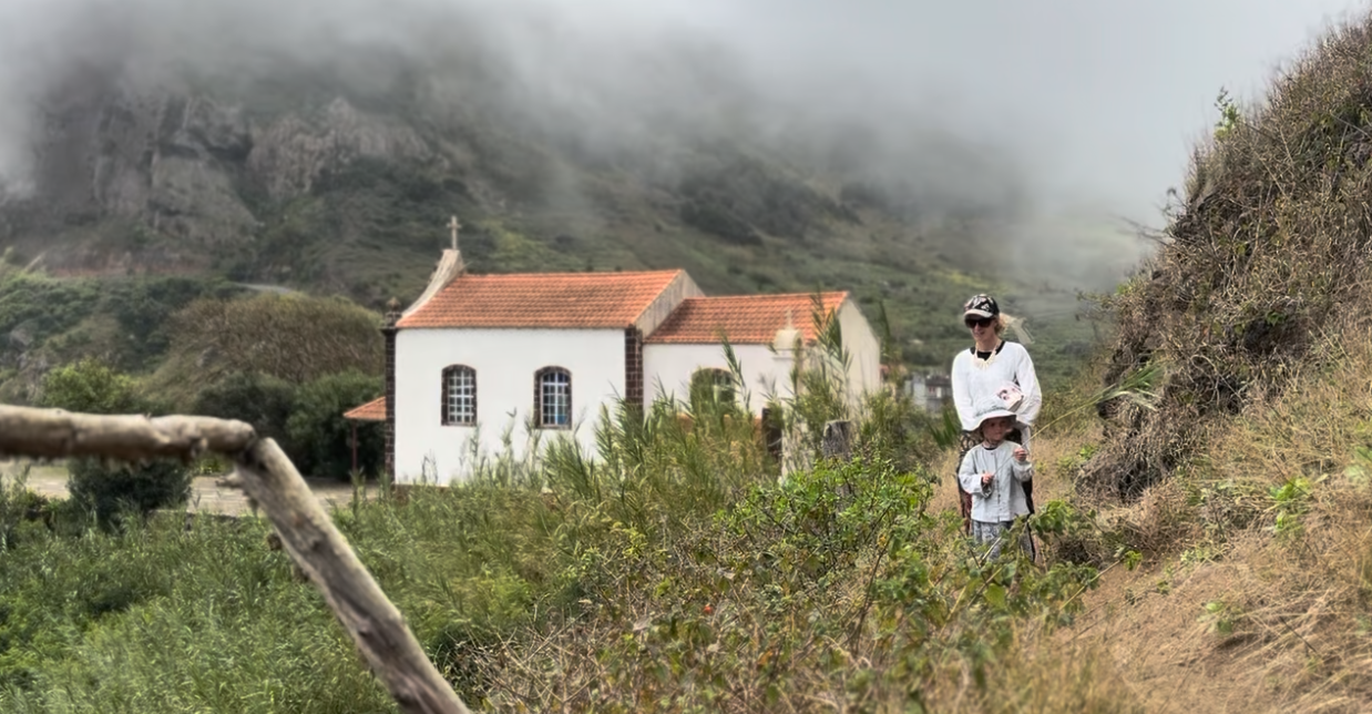
It was now late February and time was getting on. We still had the Atlantic crossing to prepare for, to Brazil via the islands of Fernando de Noronha. The plan was then to leave Shadowfax in Brazil and returning home for 6 months! However, before that we still wanted to see more authentic southern island of Brava. With no airport it is largely untouched by tourism. Brava is one of the smallest, greenest and, with no airport, the least visited island in Cape Verde. It is a place of extraordinary contrasts: mist-shrouded mountains, flowering gardens, precipitous cliffs and small settlements.
Perhaps the most unusual aspect of Brava is its long association with New England, particularly Massachusetts. During the 18th and 19th centuries, American whaling ships called at Brava to obtain provisions and recruit sailors. Many young islanders joined these vessels, eventually settling in whaling communities in the US, contributing to the Cape Verdean diaspora in America. Family connections spanning the Atlantic remain an important part of Brava’s identity, and continue to support the local economy. Additionally a botanical study recorded 239 plant species, including 25 endemic taxa, making Brava one of the most botanically diverse islands in Cape Verde relative to its size!
The passage from Mindelo to Brava meant an overnight sail, and as we’d come to expect between the islands, conditions were lively. Strong winds on the quarter kept us moving at a good pace, while the confused seas made for a rather bumpy ride. By now, we’d learnt that sailing between the Cape Verde islands was rarely a gentle affair!
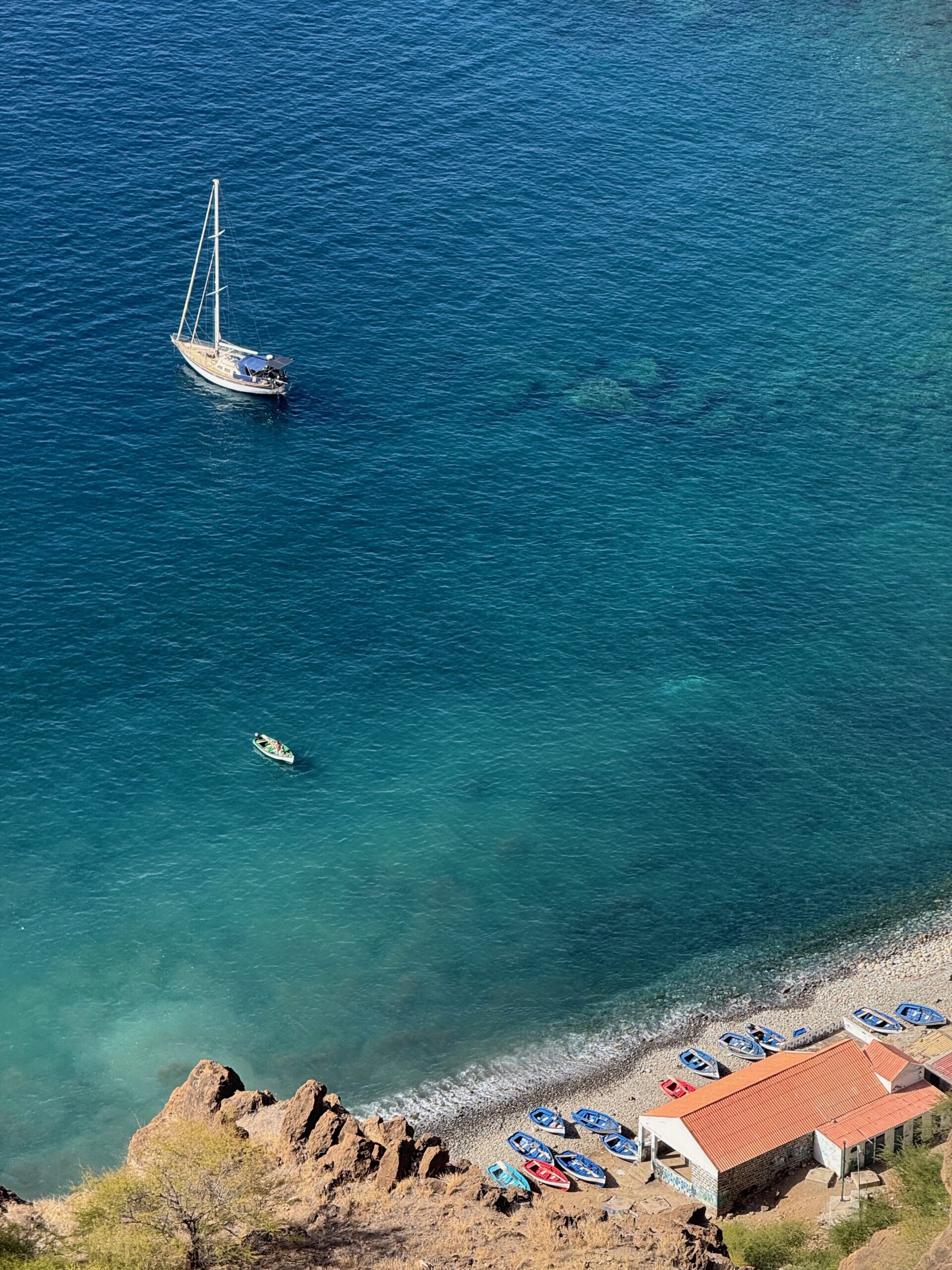
We arrived initially to Fajã de Agua but the bay was horribly confused with strong gusts. We quickly aborted that plan and continued around to the south of the island, finding shelter in a bay below the small village of Tantum. Here the accelerated winds on either side of the island meet and form a dead zone. Perfectly still and most welcome after a bouncy passage! The colourful village is perched 400m atop at the cliffs above the anchorage, with only the small fishing fleet on the beach. We were welcomed by a spear fisherman who’s gun had broke. I lent him mine and he returned with fish, which we divided between us!
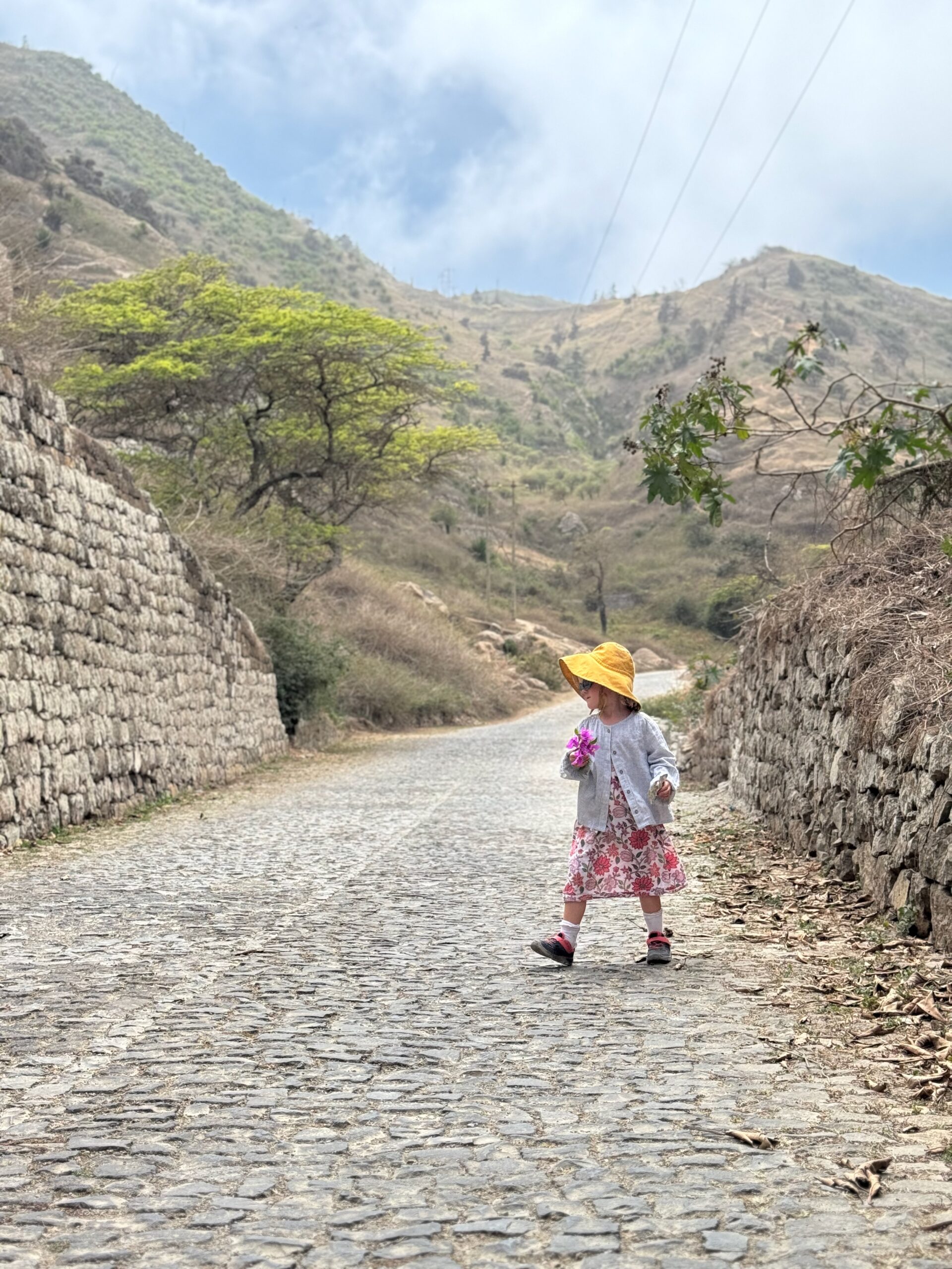
The island was delightfully relaxed. We took a ride in the back of a pickup truck to the Nova Sintra, the main village, and took a walk around the hills surrounding Sintra. There is a super market here if you needed additional provisions, although you’d have to walk it all the way back down to the anchorage. All 400m down the donkey track.
After a few days on Brava, we were reluctant to leave. The crystal-clear waters, snorkelling, peaceful anchorage and unhurried pace of island life made it all too tempting to stay a little longer. But the Atlantic crossing was never far from our minds, and every extra day meant dipping further into our precious stores of food and water. So, with the twin headsails rigged and both poles ready, we reluctantly weighed anchor, turned our bow west and set sail across the Atlantic towards Fernando de Noronha, some 1,400 miles away. But that’s another story!